The Swiss Traverse 2020
I’d been thinking of a bigger trip in the mountains for most of the year. Having known I was going to have a few months off in summer, due to a change in jobs, I started mulling over some maps of the Alps during some slower days at work. Switzerland east to west roughly measures 350km as the crow flies and since my job I was moving from east to west I thought it might be nice to try and traverse the whole country from the Austrian border to the French border, passing through over a selection of the Alps.
In terms of a route, there were multiple options. Switzerland is blessed with a network of well-established and well serviced long-distance walking paths, which span the entire country and others that are more regional. However, I wanted to try and visit the lesser-visited corners of the country, mainly the Canton of Graubünden and opted for just making up a route on a day by day basis. In a sort of arbitrary way, I settled on the “rules/ethics” of the traverse.
- All of the route to be done on foot (no lifts, no post bus, no parachutes)
- The route should pass over the highest col when given the option
Plenty of mountain refuges and small mountain villages meant plentiful resupply possibilities were available and also negated the need to bring any kind of sleeping equipment. I decided then to sleep roughly two out of three nights high up in refuges and every other night in some BnB in the valley to stock up on food supplies.
Given that most people can’t casually take a month off work during a pandemic, I had to content myself with doing the trip solo, although a few morale-boosting visits were made by Leyre during the latter stages of the trip.
So without boring everyone with a day by day recount of the trip, I’ll share some of the stats, highlights and lowlights.
Stats
- Total distance: 931.1km
- Total elevation gain 48,849m+
- Total moving time: 198:47:41
- Total time from end to end: 20 days
- The total amount of watermelons consumed: approx. 10
- Total weight of Swiss cheese consumed: 15kg


The route ran from Nauders in Austria to Saint Gingolph straddling the border of France on the banks of Lac Leman. It passed through the Cantons of Graubünden, Ticino, Uri, Bern and Valais. All four Swiss official languages were encountered and the climate fluctuated from -10c with waist-deep snow at its coldest in S-Charl to 35c and searing sun on the hottest.
Highlights
- Crossing the Fuorcla Val Sassa at 2857 with waist-deep fresh snow and absolutely nobody for miles.

![]()


- Frozen sunrise and the cloud inversion at the Campanna Es-Cha.

- The high point of the trip at the Üssers Barrhorn 3610 and the approach up the glacier and via ferrata to get there.


Lowlights
- Stupidly going down the wrong valley in Ticino after making good pace all morning and adding 15km to the day, then arriving into Hospental to all food options being shut and having to console myself to a squished cereal bar for dinner.
- 37c and melting away in Verbier with nowhere to hide from the sun.
- The wheels falling off in the last 5 days and resorting to somewhat of a crawl.
In a year where records for countless records for big rounds are obliterated and fellow Westies are doing some spectacular stuff in the hills, the stats in the trip are somewhat unremarkable. This is only further reinforced by the record set by Swiss professional Diego Pazos for crossing Switzerland in 79 hours and 36 minutes non-stop at the same time I was out. Nonetheless, reflecting back on the trip weeks after finishing it, it’s been a great experience. The highs far outweighed the lows and the haphazard approach to my organization and no idea where I was going from day to day took all pressure off making targets or specific daily destinations.
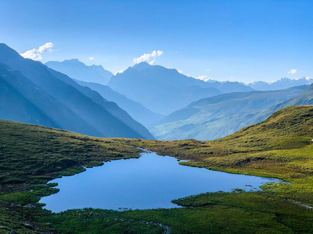
What else to say? Probably best left to a few pictures that will speak for themselves.


Wow, that’s epic! Who cares about FKTs….you had 7 times as much fun times.
epic photos
What an achievement! You are very lucky to have been able to do this!